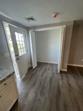
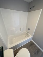
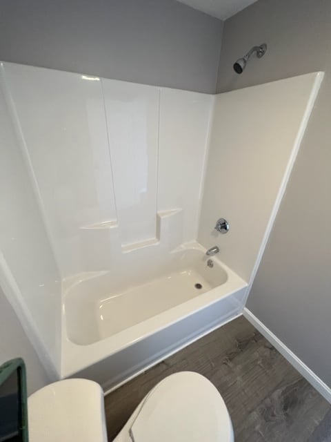
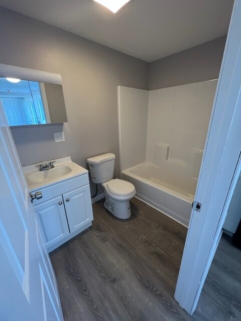
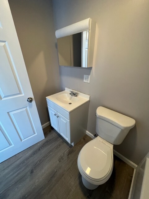
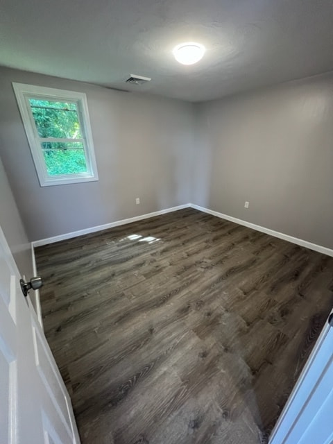
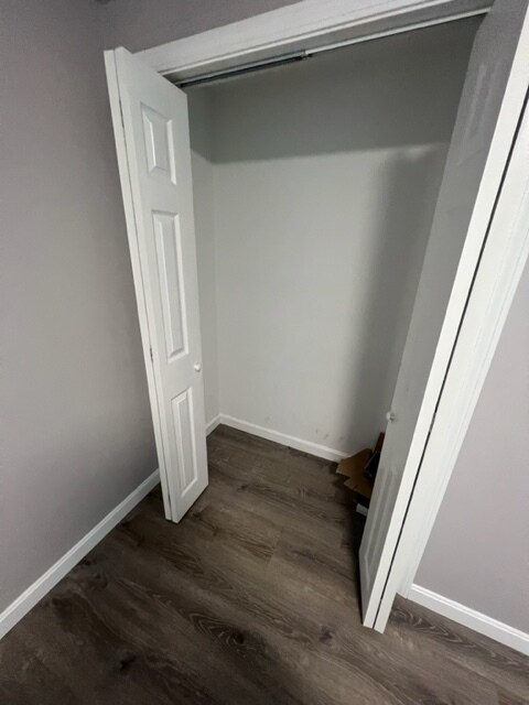
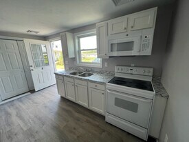
Photos


Contact
235-237-237 State Rd
Floorplan Pricing and Availability
New! Interactive Property Map
 ApartmentHomeLiving.com's new Interactive Property Map allows you to see where every available unit is located at this community.Try It Now >
1 Bedroom
8 - 235-237-237 State Rd
$1,750
1 Bed, 1 Bath, 600 sq ftAvailable NowAvailability Details
Price Availability Date Unit Sq Ft $1,750 Available Now 8 - 235-237-237 State Rd 600 sq ft About This Listing
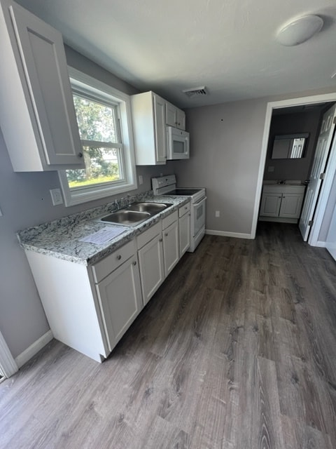
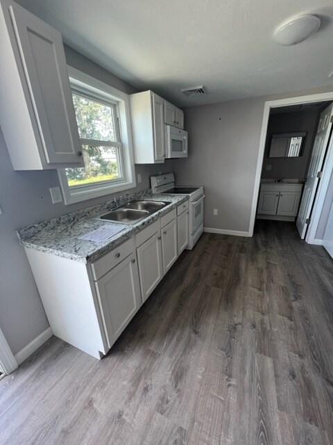
Brand New 1 Bedroom Unit Located in Westport MA.Onsite Parking*****UTILITIES ARE INCLUDED *******No laundry on site Pet Friendly Unit Cats/Dogs OK. 40lb weight limit/breed restrictions. First & last due upon lease signing. One year lease requiredNo evictions , Income Verification, References ,Credit and Background check will be required for the final qualified applicant. $45.00 Tenant Cloud background & credit check fee per resident over 18. Cats/Dogs OK. 40lb weight limit/breed restrictions. First & last due upon lease signing. One year lease required. Applications from prospective tenants with children are welcome. Applications from prospective tenants who receive rental assistance (such as Section 8 or MRVP) are also welcome. Divine Real Estate & Vault Properties do not discriminate on the basis of race, color, national origin, sex, religion, disability, familial status, ancestry, sexual orientation, gender identity, marital status, age, receipt of rental subsidy or public assistance, military or veteran status, or presence of lead paint.See less
Model Lease Information
Model Price
- $1,750
Fees & Policies
Pet Policy and Fees
CatsAllowedDogsAllowedProperty Fee Disclaimer: Based on community-supplied data and independent market research. Subject to change without notice. May exclude fees for mandatory or optional services and usage-based utilities.
Price shown is base rent. Excludes user-selected optional fees and variable or usage-based fees and required charges due at or prior to move-in or at move-out. View Fees and Policies for details. Price, availability, fees, and any applicable rent special are subject to change without notice.Contact Info
- Listed by:
- Vault Properties
- Agency:
- Vendor Logo:
- Website:
- View Property Website
- Call Us:
- (508) 287-7391
- Disclaimer:
B - 235-237-237 State Rd
$1,075
1 Bed, 1 Bath, 400 sq ftAvailable May 7Availability Details
Price Availability Date Unit Sq Ft $1,075 May 7, 2026 B - 235-237-237 State Rd 400 sq ft Model Amenities and Features
Living Space
- Hardwood Floors
About This Listing
Charming Studio Apartment located in Westport MA on Route 6 , parking on site , Utilities not included, Pet Friendly Unit Cats/Dogs OK. 40lb weight limit/breed restrictions. First & last due upon lease signing. One year lease requiredno evictions , income verification, references ,credit and background check will be required for the final qualified applicant
Model Lease Information
Model Price
- $1,075
Fees & Policies
Pet Policy and Fees
CatsAllowedDogsAllowedProperty Fee Disclaimer: Based on community-supplied data and independent market research. Subject to change without notice. May exclude fees for mandatory or optional services and usage-based utilities.
Price shown is base rent. Excludes user-selected optional fees and variable or usage-based fees and required charges due at or prior to move-in or at move-out. View Fees and Policies for details. Price, availability, fees, and any applicable rent special are subject to change without notice.Contact Info
- Listed by:
- Vault Properties
- Agency:
- Vendor Logo:
- Website:
- View Property Website
- Call Us:
- (508) 287-7391
- Disclaimer:
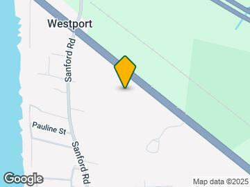
Map
- Shopping
- Colleges
- Schools
- Grocery
- Medical
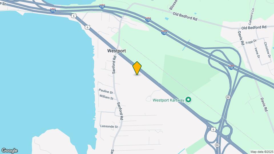
Map
Points of Interest
Time and distance from 235-237-237 State Rd.
Big Box and Retail
Walmart
Walgreens
Target
Colleges and Universities
Groceries
Stop & Shop
Hospitals
Shopping Centers
235-237-237 State Rd has 5 shopping centers within 2.1 miles.
Nearby Neighborhoods
Nearby Apartments
Rental Price Ranges in the Area
| Bedroom | Average Rent | Cheapest Rent | Highest Rent |
|---|---|---|---|
| Westport Studio Apartments | $1,934 | $1,730 | $2,241 |
| Westport 1 Bedroom Apartments | $1,980 | $1,640 | $2,438 |
| Westport 2 Bedroom Apartments | $2,116 | $1,350 | $2,846 |
| Westport 3 Bedroom Apartments | $2,255 | $1,500 | $4,500 |
Browse Top Apartments in Westport
By Community Type
- Westport Apartments for Rent by Owner
- Westport Apartments with Rent Specials
- Westport Top Rated Apartments
- Westport Corporate Apartments
- Westport Furnished Apartments
- Westport Gated Apartments
- Westport Loft Apartments
- New Westport Apartments
- Westport Senior Apartments
- Westport Apartments with Utilities Included