1110-1112-1112 N Rock St
Scranton, PA 18504
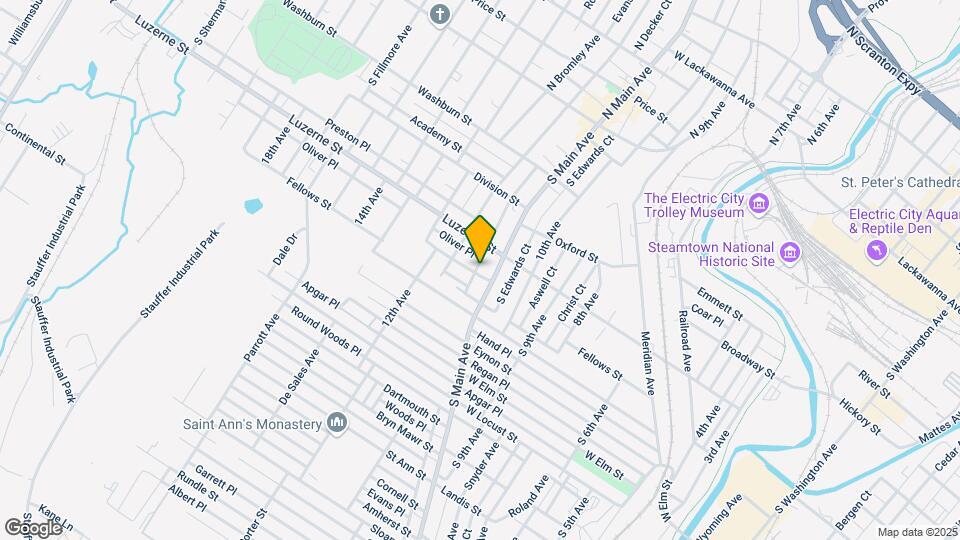
![1110-1112-1112 N Rock St Map and Location Details]()
Scranton, PA 18504
Uh-oh!
This property is not currently listed for rent.
Map
1110-1112-1112 N Rock St, Scranton, PA 18504
- Shopping
- Colleges
- Schools
- Grocery
- Medical
- Parks
Map
Points of Interest
Time and distance from 1110-1112-1112 N Rock St.
Big Box and Retail
Walgreens
330 S Main Ave
1 minute drive / 0.31 miles away
Walmart
1325 S Main Ave
3 minute drive / 1.01 miles away
Goodwill
925 Prospect Ave
4 minute drive / 1.61 miles away
Colleges and Universities
Groceries
Price Chopper
1228 O'Neill Hwy
8 minute drive / 4.15 miles away
Weis Markets
1020 Northern Blvd
11 minute drive / 5.2 miles away
Wegmans
1315 Scranton Carbondale Hwy
11 minute drive / 5.4 miles away
Hospitals
Parks and Recreation
1110-1112-1112 N Rock St has 5 parks within 1.6 miles, including Steamtown National Park, McDade Park, Merli-Sarnoski Park, Lackawanna State Park, and Weston Field.
Shopping Centers
1110-1112-1112 N Rock St has 5 shopping centers within 1.1 miles.
Nearby Neighborhoods
Rental Price Ranges in the Area
| Bedroom | Average Rent | Cheapest Rent | Highest Rent |
|---|---|---|---|
| Scranton Studio Apartments | $1,261 | $800 | $1,567 |
| Scranton 1 Bedroom Apartments | $1,378 | $600 | $2,050 |
| Scranton 2 Bedroom Apartments | $1,468 | $895 | $2,850 |
| Scranton 3 Bedroom Apartments | $1,565 | $1,000 | $3,530 |
| Scranton 4 Bedroom Apartments | $1,754 | $1,400 | $3,559 |
Nearby Apartments
Nearby Homes
Protect yourself from fraud. Avoid Scams and Fraud
Did You Know?
The average Apartment shopper researches 4 properties in detail before signing a lease.