This property is not currently listed for rent.

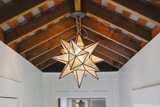
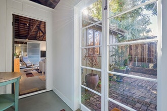
5 Photos

Map
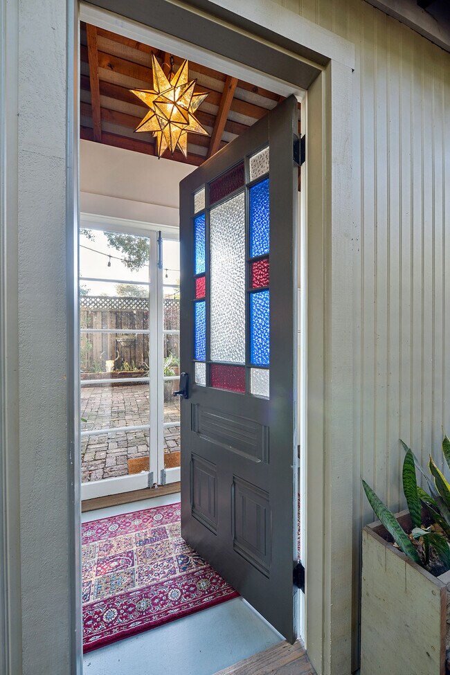
730 Bryant St, Palo Alto, CA 94301
- Shopping
- Colleges
- Schools
- Grocery
- Medical
- Transportation
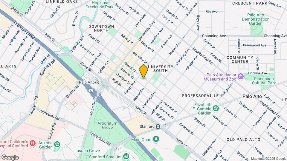
Map
Points of Interest
Time and distance from 730 Bryant St.
Big Box and Retail
Macy's
300 Stanford Shopping Ctr
1 minute drive / 0.65 miles away
Michaels
2415 Charleston Rd
7 minute drive / 3.67 miles away
Petsmart
2440 Charleston Rd
7 minute drive / 3.7 miles away
Colleges and Universities
Groceries
Trader Joe's
855 El Camino Real
1 minute drive / 0.17 miles away
Safeway
645 San Antonio Rd
8 minute drive / 3.74 miles away
Whole Foods
4800 El Camino Real
8 minute drive / 3.92 miles away
Hospitals
Lucile Salter Packard Children's Hospital At Stanford
725 Welch Road
2 minute drive / 0.85 miles away
Stanford Health Care
300 Pasteur Drive
3 minute drive / 1.03 miles away
Kaiser Foundation Hospital - Redwood City
1100 Veterans Boulevard
10 minute drive / 4.94 miles away
Military Bases
Ames Research Center
11 minute drive / 5.49 miles away
Shopping Centers
730 Bryant St has 5 shopping centers within 1.3 miles.
Transit Stations
Stanford-Caltrain
1 minute drive / 0.23 miles away
Palo Alto-Caltrain
1 minute drive / 0.37 miles away
California Avenue-Caltrain
3 minute drive / 1.29 miles away
Nearby Neighborhoods
Rental Price Ranges in the Area
| Bedroom | Average Rent | Cheapest Rent | Highest Rent |
|---|---|---|---|
| Palo Alto Studio Apartments | $2,927 | $1,700 | $4,494 |
| Palo Alto 1 Bedroom Apartments | $4,208 | $1,185 | $7,189 |
| Palo Alto 2 Bedroom Apartments | $5,660 | $2,795 | $10,000+ |
| Palo Alto 3 Bedroom Apartments | $6,146 | $3,540 | $10,000+ |
| Palo Alto 4 Bedroom Apartments | $13,850 | $10,000 | $10,000+ |
Nearby Apartments
Nearby Homes
Protect yourself from fraud. Avoid Scams and Fraud
Did You Know?
22% of apartment shoppers plan to spend 4-6 months in their apartment search.