43512 Bryant St
Fremont, CA 94539

![]()
![43512 Bryant St Map and Location Details]()
Fremont, CA 94539
This property is not currently listed for rent.
Photos
Map
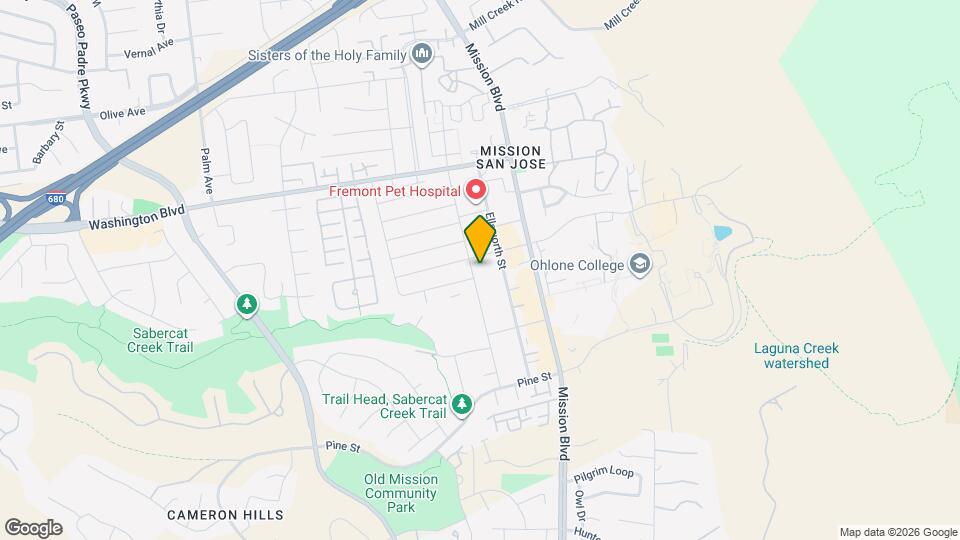
43512 Bryant St, Fremont, CA 94539
- Shopping
- Colleges
- Schools
- Grocery
- Medical
- Parks
- Transportation
Map
Points of Interest
Time and distance from 43512 Bryant St.
Big Box and Retail
Petsmart
39410 Argonaut Way
7 minute drive / 3.71 miles away
Target
39201 Fremont Blvd
7 minute drive / 3.72 miles away
Costco
350 Newpark Mall
9 minute drive / 4.33 miles away
Colleges and Universities
Palmer College of Chiropractic West Campus - West Campus
90 E. Tasman Drive
17 minute drive / 8.38 miles away
Groceries
Raley's
5420 Sunol Blvd
18 minute drive / 8.7 miles away
Safeway
6790 Bernal Ave
18 minute drive / 8.79 miles away
Hospitals
Kaiser Foundation Hospital - Fremont
39400 Paseo Padre Pkwy
7 minute drive / 3.38 miles away
Washington Hospital
2000 Mowry Ave
8 minute drive / 3.84 miles away
St. Rose Hospital
27200 Calaroga Ave
25 minute drive / 11.7 miles away
Military Bases
Ames Research Center
22 minute drive / 10.71 miles away
Parks and Recreation
43512 Bryant St has 1 park within 11.1 miles, including Alum Rock Park.
Shopping Centers
43512 Bryant St has 5 shopping centers within 1.7 miles.
Nearby Neighborhoods
Rental Price Ranges in the Area
| Bedroom | Average Rent | Cheapest Rent | Highest Rent |
|---|---|---|---|
| Fremont Studio Apartments | $2,316 | $1,627 | $3,198 |
| Fremont 1 Bedroom Apartments | $2,703 | $788 | $5,804 |
| Fremont 2 Bedroom Apartments | $3,232 | $927 | $6,982 |
| Fremont 3 Bedroom Apartments | $4,265 | $1,056 | $10,000+ |
Nearby Apartments
Nearby Homes
Protect yourself from fraud. Avoid Scams and Fraud
Did You Know?
22% of apartment shoppers plan to spend 4-6 months in their apartment search.