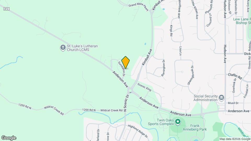
1220 Sundance Dr
Manhattan, KS 66503
![1220 Sundance Dr Map and Location Details]()
Manhattan, KS 66503
Uh-oh!
This property is not currently listed for rent.
Map
1220 Sundance Dr, Manhattan, KS 66503
- Shopping
- Colleges
- Schools
- Grocery
- Medical
Map
Points of Interest
Time and distance from 1220 Sundance Dr.
Big Box and Retail
Walgreens
2719 Anderson Ave
5 minute drive / 1.76 miles away
Target
800 Commons Pl
4 minute drive / 2.24 miles away
Petsmart
805 S Seth Child Rd
5 minute drive / 2.36 miles away
Colleges and Universities
Kansas State University - Manhattan Campus
919 Mid-Campus Drive North, Anderson Hall
6 minute drive / 2.88 miles away
Groceries
Dillons
1101 Westloop Pl
4 minute drive / 1.55 miles away
Aldi
140 E Poyntz Ave
9 minute drive / 4.63 miles away
Food-4-Less
401 E Frontage Rd
10 minute drive / 4.69 miles away
Hospitals
Manhattan Surgical Hospital
1829 College Avenue
5 minute drive / 2.41 miles away
Mercy Regional Health Center
1823 College Ave
5 minute drive / 2.41 miles away
Irwin Army Community Hospital (Fort Riley)
600 Caisson Hill Road
22 minute drive / 10.63 miles away
Military Bases
Shopping Centers
1220 Sundance Dr has 5 shopping centers within 3.8 miles.
Nearby Neighborhoods
Rental Price Ranges in the Area
| Bedroom | Average Rent | Cheapest Rent | Highest Rent |
|---|---|---|---|
| Manhattan Studio Apartments | $778 | $650 | $865 |
| Manhattan 1 Bedroom Apartments | $915 | $550 | $1,601 |
| Manhattan 2 Bedroom Apartments | $1,081 | $610 | $1,882 |
| Manhattan 3 Bedroom Apartments | $1,344 | $739 | $2,418 |
| Manhattan 4 Bedroom Apartments | $1,424 | $455 | $2,516 |
Nearby Apartments
Nearby Homes
Protect yourself from fraud. Avoid Scams and Fraud
Did You Know?
The average 1 Bedroom Apartment in Manhattan is $915.