Photos


- 4BR, 2.5BAHome
- $2,450Price
- 1,979Square Feet
- 11-05-2025Availability
Unit Rent and Fees
Unit Price
- $2,450
Deposit
- $2,350 deposit
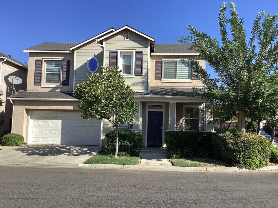
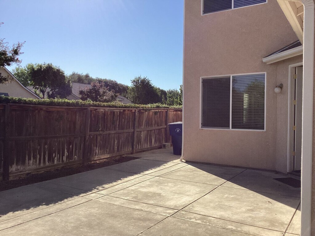
About 15 W Brittany Ln
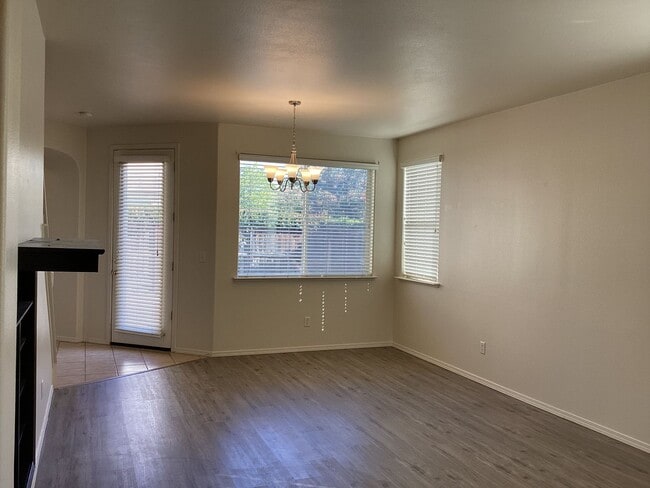
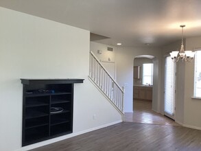
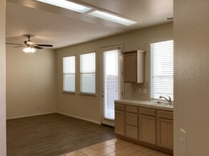
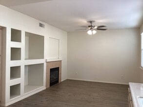
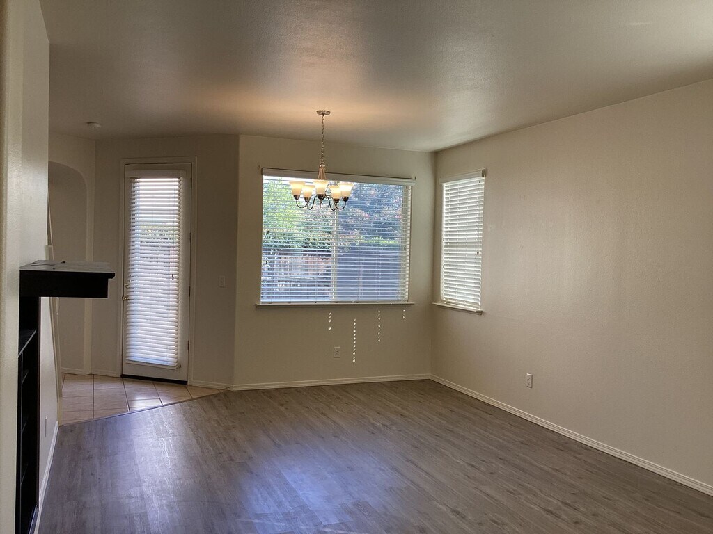
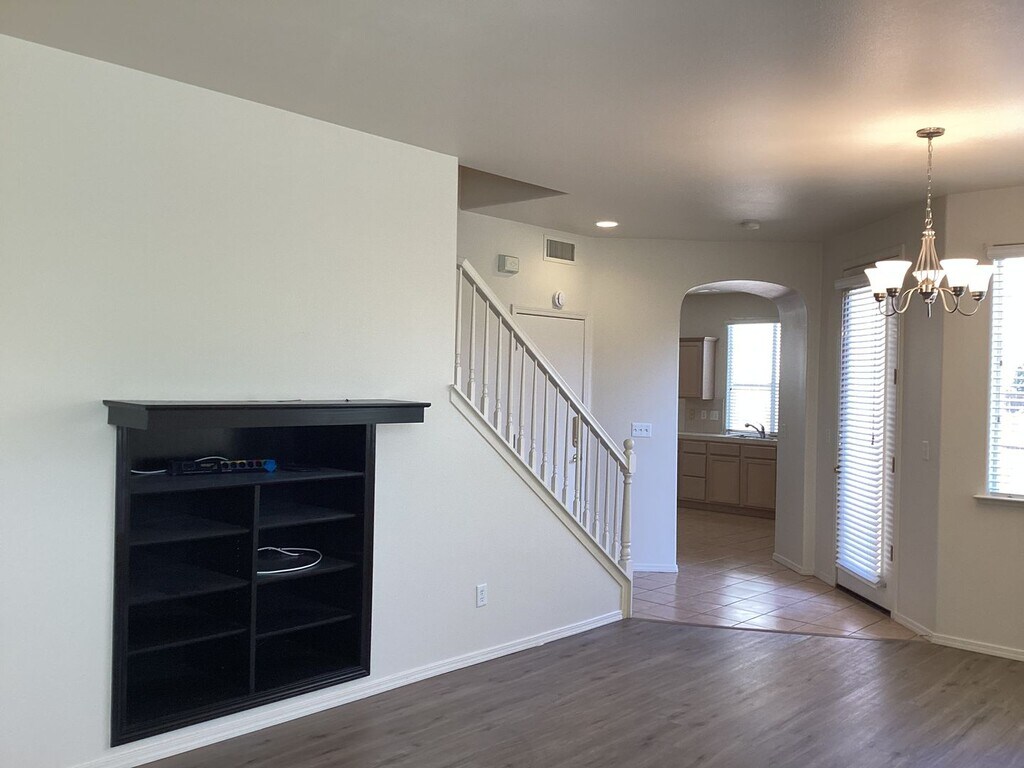
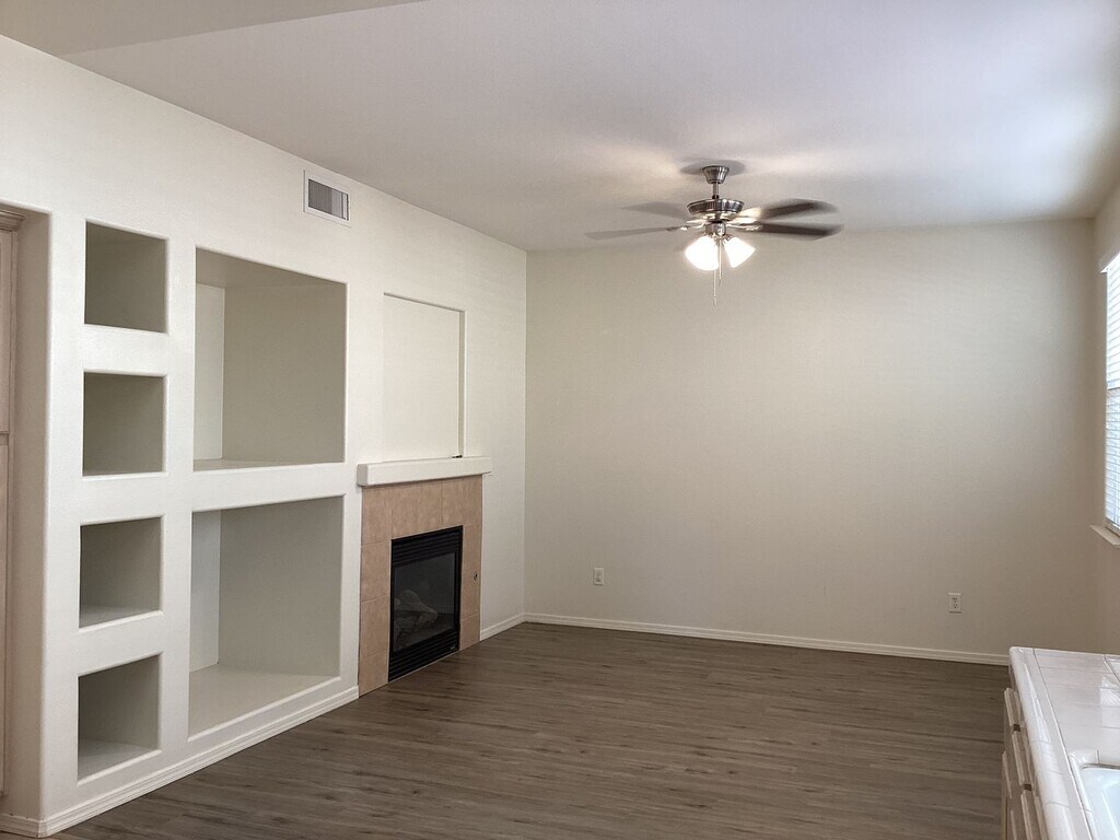
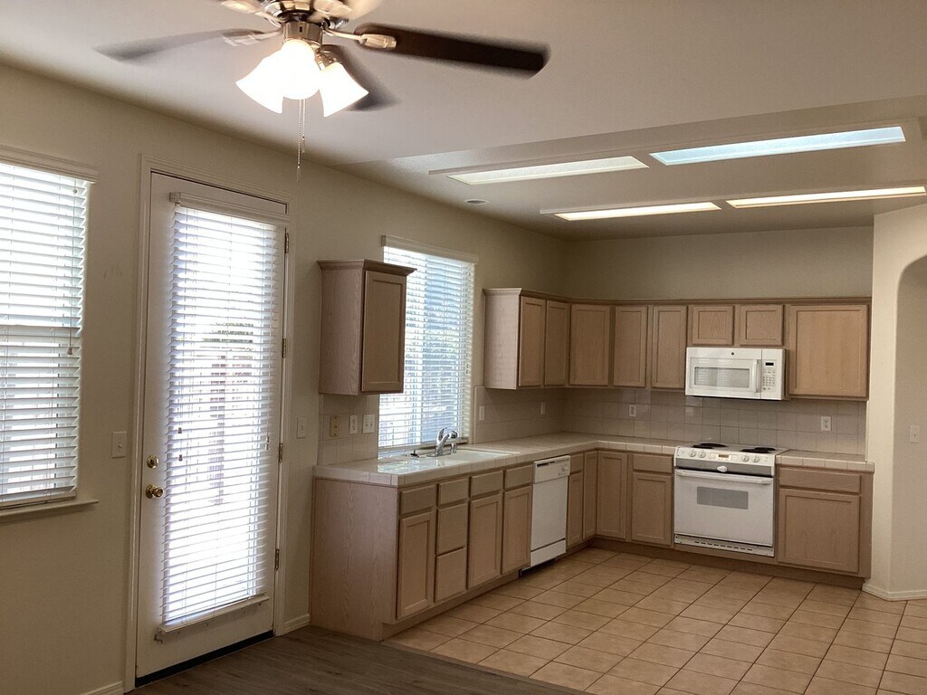
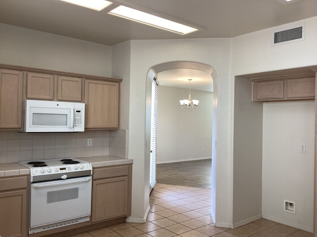
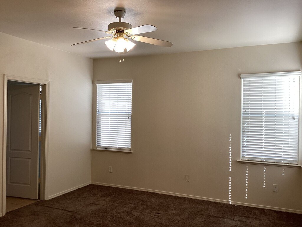
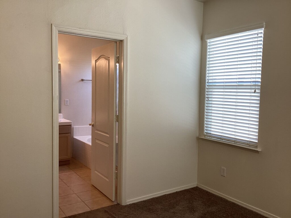
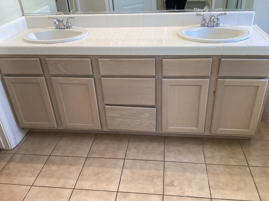
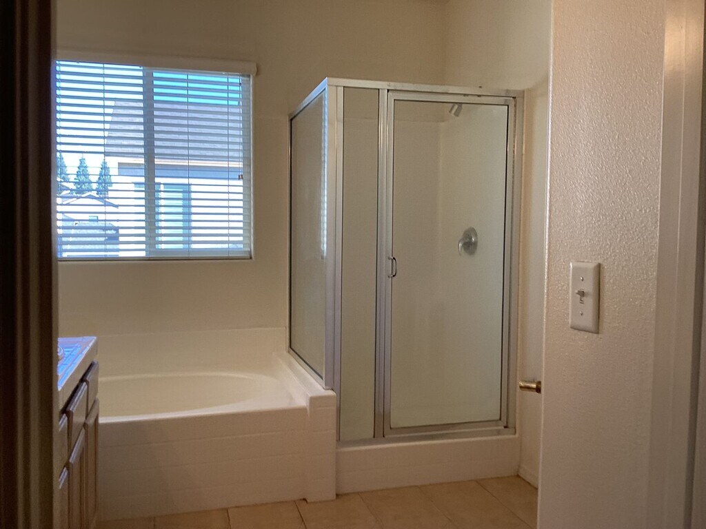
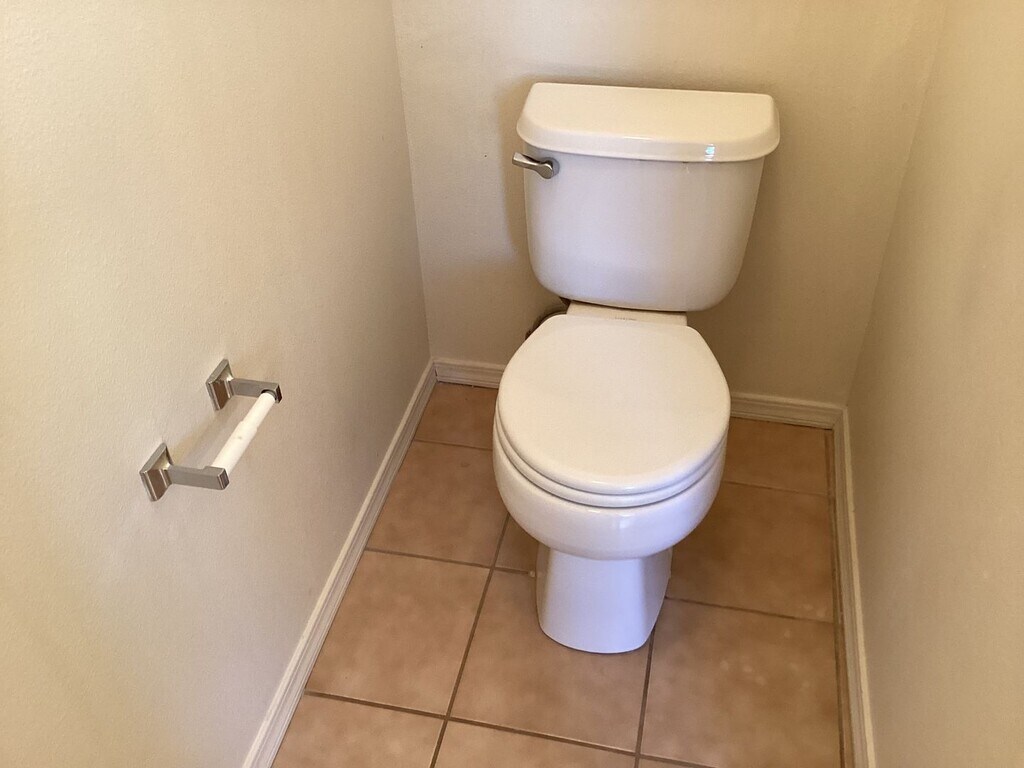
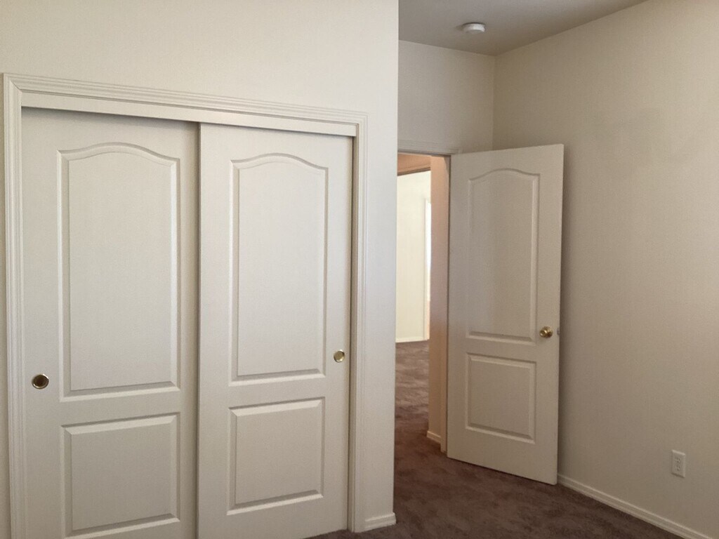
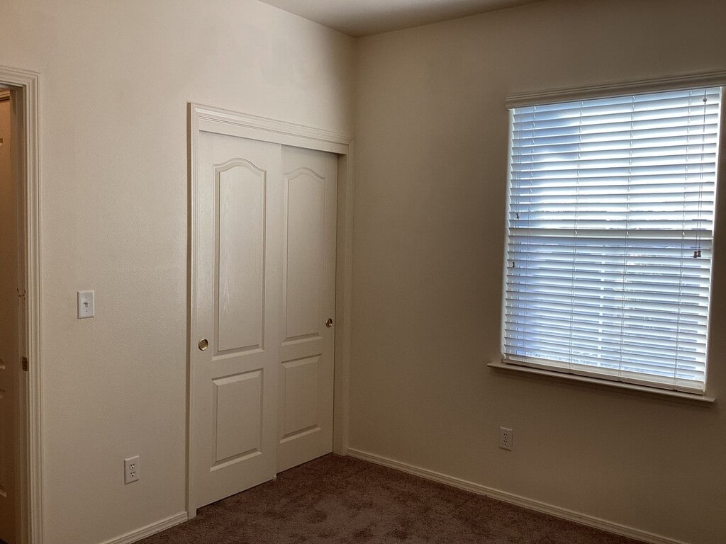
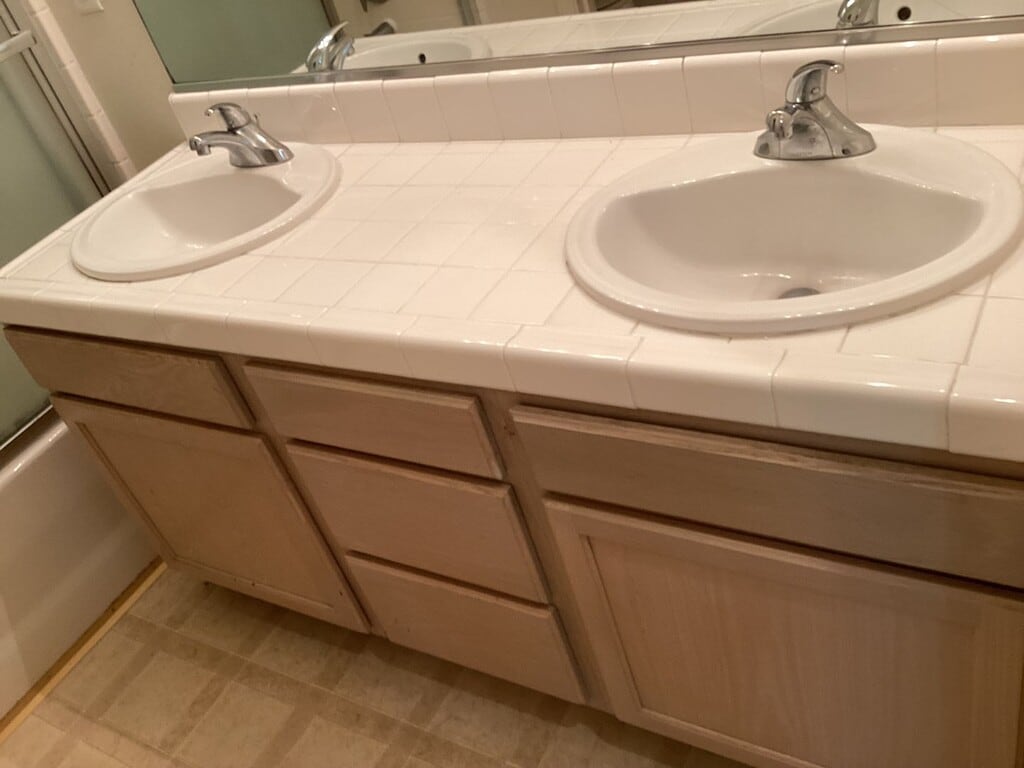
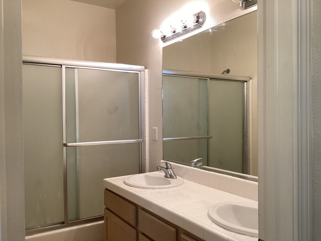
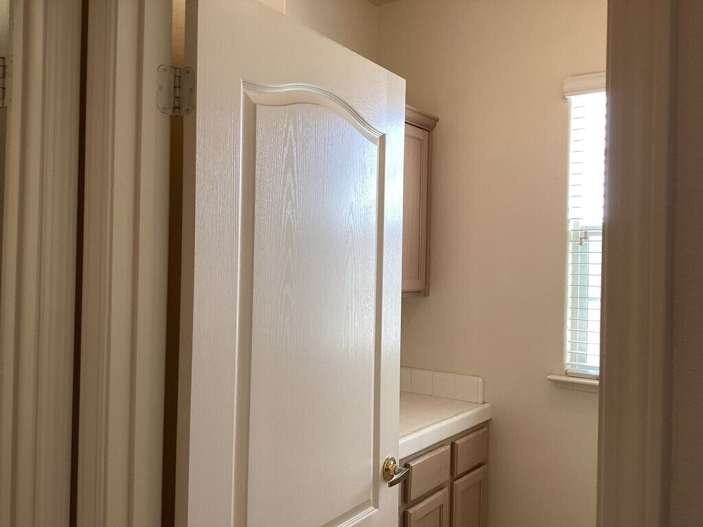
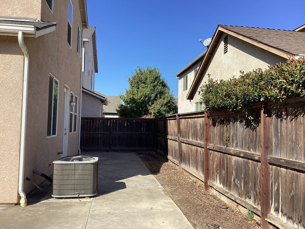
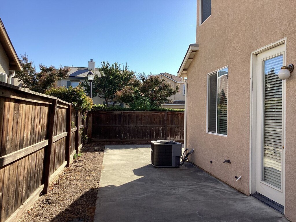
This two-story home in a gated community, located in walking distance from Buchanan High School has approximately 1979 sqft with a living room, dining area & spacious kitchen, vinyl flooring, tile floors in kitchen & bathrooms, carpets upstairs and in bedrooms, tile counters, electric range, dishwasher & built-in microwave, garbage disposal, central heating & air conditioning. 2-car garage with electric opener, laundry room. Low maintenance Backyard; Yard service included for Front Yard. Take W. Teague Ave to N. Minnewawa Avenue, turn left on Scandia Lane, then take the first left and continue onto Brittany Lane. Close to schools, Buchanan High School, parks, shopping and freeways. Renter's Insurance Required. Addendum: CC&R's and House Rules. Pets very strictly negotiable (1 small pet).
15 W Brittany Ln is located in the 93619 Zip code of Clovis, CA.
Property Contact Info
Features and Amenities
On-Site Services
- Garden Style
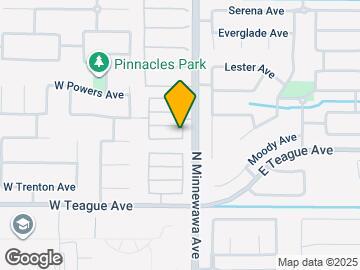
Map
- Shopping
- Colleges
- Grocery
- Medical
- Parks
Map
What Are Walk Score®, Transit Score®, and Bike Score® Ratings?
- Walk Score® measures the walkability of any address.
- Transit Score® measures access to public transit.
- Bike Score® measures the bikeability of any address.
Frequently Asked Questions about 15 W Brittany Ln
What type of rental is available at 15 W Brittany Ln?
There is currently a 4 Bed 2 Bath Home for rent with 1,979 sq ft listed at 15 W Brittany Ln. It is Available November 5, 2025.
How much is the rent at 15 W Brittany Ln?
The rental at 15 W Brittany Ln is currently listed at $2,450.
What area of town is 15 W Brittany Ln located in?
15 W Brittany Ln is in the 93619 Zip Code of Clovis, CA.
Nearby Schools
About GreatSchools Data on ApartmentHomeLiving.com.
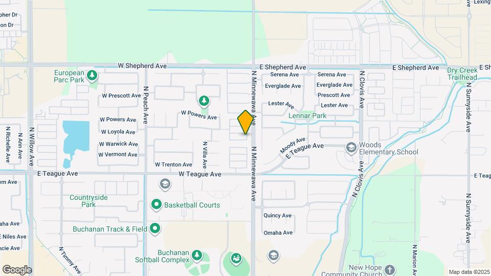
Points of Interest
Time and distance from 15 W Brittany Ln.
Arts Museums and Landmarks
Big Box and Retail
Walgreen's
Target
Autozone
Colleges and Universities
Groceries
Save Mart
Smart & Final
Aldi
Hospitals
Military Bases
Fresno Air Guard Station
Parks and Recreation
15 W Brittany Ln has 5 parks within 10.0 miles, including Melody Neighborhood Center , Quigley Neighborhood Center, Romain Neighborhood Center, Roeding Regional Park, and The Woodward Regional Park.
Shopping Centers
15 W Brittany Ln has 5 shopping centers within 1.3 miles.
Nearby Neighborhoods
Nearby Apartments
Rental Price Ranges in the Area
| Bedroom | Average Rent | Cheapest Rent | Highest Rent |
|---|---|---|---|
| Clovis Studio Apartments | $1,247 | $1,085 | $1,575 |
| Clovis 1 Bedroom Apartments | $1,662 | $1,185 | $2,782 |
| Clovis 2 Bedroom Apartments | $1,882 | $823 | $2,843 |
| Clovis 3 Bedroom Apartments | $2,425 | $939 | $3,956 |
| Clovis 4 Bedroom Apartments | $1,850 | $1,032 | $2,550 |
Browse Top Apartments in Clovis
By Price
By Community Type
- Clovis Apartments for Rent by Owner
- Clovis Apartments with Rent Specials
- Clovis Top Rated Apartments
- Clovis Corporate Apartments
- Clovis Furnished Apartments
- Clovis Gated Apartments
- Clovis Loft Apartments
- Clovis Low Income Apartments
- New Clovis Apartments
- Clovis Senior Apartments
- Clovis Short-term Apartments
- Clovis Student Apartments
- Clovis Apartments with Utilities Included