296 Tolland St
East Hartford, CT 06108
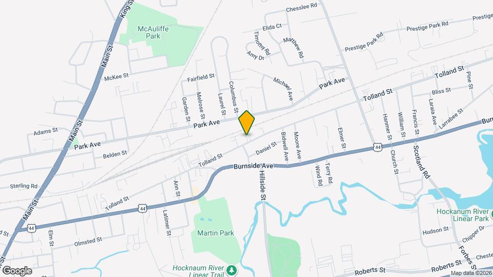
![296 Tolland St Map and Location Details]()
East Hartford, CT 06108
Uh-oh!
This property is not currently listed for rent.
Map
296 Tolland St, East Hartford, CT 06108
- Shopping
- Colleges
- Schools
- Grocery
- Medical
Map
Points of Interest
Time and distance from 296 Tolland St.
Big Box and Retail
Walgreens
922 Silver Ln
3 minute drive / 1.28 miles away
Carmax
89 Weston St
5 minute drive / 2.4 miles away
Staples
49 Putnam Blvd
8 minute drive / 3.75 miles away
Colleges and Universities
Groceries
Save-A-Lot
950 Main St
4 minute drive / 1.34 miles away
Whole Foods
800-810 Evergreen Way
8 minute drive / 4.11 miles away
Aldi
511 New Park Ave
12 minute drive / 5.9 miles away
Hospitals
Hartford Hospital
80 Seymour Street
7 minute drive / 3.61 miles away
Connecticut Children's Medical Center
282 Washington Street
7 minute drive / 3.72 miles away
St. Francis Hospital & Medical Center
114 Woodland Street
8 minute drive / 4.11 miles away
Military Bases
Naval & Marine Reserve Center
5 minute drive / 2.73 miles away
Shopping Centers
296 Tolland St has 5 shopping centers within 1.3 miles.
Nearby Neighborhoods
Rental Price Ranges in the Area
| Bedroom | Average Rent | Cheapest Rent | Highest Rent |
|---|---|---|---|
| East Hartford Studio Apartments | $1,427 | $845 | $2,500 |
| East Hartford 1 Bedroom Apartments | $1,727 | $885 | $2,632 |
| East Hartford 2 Bedroom Apartments | $2,109 | $1,100 | $3,930 |
| East Hartford 3 Bedroom Apartments | $1,829 | $1,275 | $4,210 |
| East Hartford 4 Bedroom Apartments | $2,350 | $1,800 | $3,700 |
Nearby Apartments
Nearby Homes
Protect yourself from fraud. Avoid Scams and Fraud
Did You Know?
43% of renters tour a property with an agent before signing a lease.