This property is not currently listed for rent.
Photos


Map
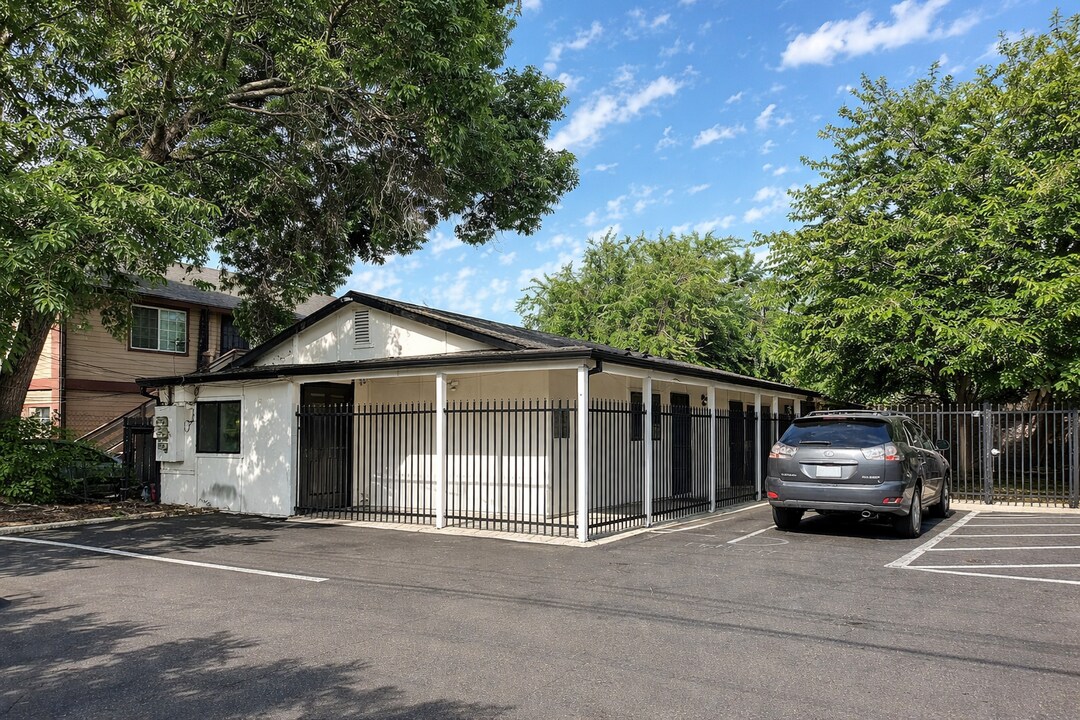
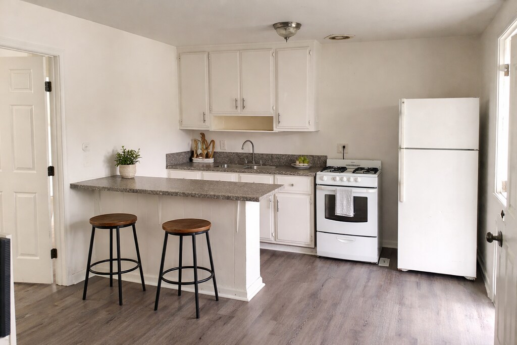
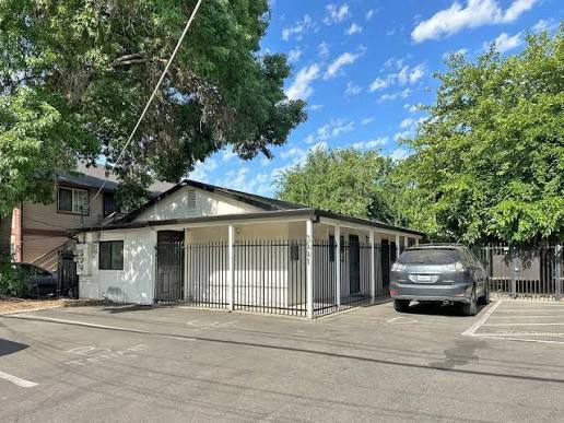
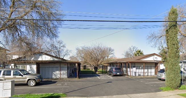
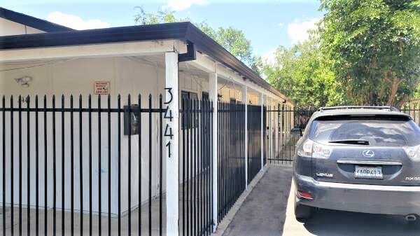
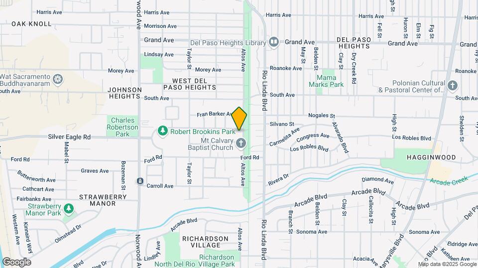
3445 Altos Ave, Sacramento, CA 95838
- Shopping
- Colleges
- Schools
- Grocery
- Medical
- Parks
- Transportation
Map
Points of Interest
Time and distance from 3445 Altos Ave.
Big Box and Retail
Walgreens
840 El Camino Ave
3 minute drive / 1.33 miles away
Jcpenney
1695 Arden Way
5 minute drive / 2.34 miles away
Macy's
1701 Arden Way
5 minute drive / 2.45 miles away
Colleges and Universities
Groceries
Grocery Outlet
2308 Del Paso Blvd
4 minute drive / 1.35 miles away
Stop & Shop
2533 Edison Ave
5 minute drive / 2.56 miles away
Raley's
2075 Fair Oaks Blvd
8 minute drive / 4.19 miles away
Hospitals
Military Bases
McClellan Air Force Base
7 minute drive / 3.43 miles away
National Guard Armory Sacramento
10 minute drive / 4.81 miles away
Army National Guard Mather
20 minute drive / 9.7 miles away
Parks and Recreation
3445 Altos Ave has 5 parks within 4.3 miles, including South Natomas Community Park, Sutter's Landing Regional Park, Paradise Beach, Sutter's Fort State Historical Park, and Capitol Park.
Shopping Centers
3445 Altos Ave has 5 shopping centers within 1.2 miles.
Transit Stations
Nearby Neighborhoods
Rental Price Ranges in the Area
| Bedroom | Average Rent | Cheapest Rent | Highest Rent |
|---|---|---|---|
| Sacramento Studio Apartments | $1,717 | $957 | $3,550 |
| Sacramento 1 Bedroom Apartments | $1,825 | $822 | $6,348 |
| Sacramento 2 Bedroom Apartments | $2,154 | $575 | $5,452 |
| Sacramento 3 Bedroom Apartments | $2,664 | $898 | $5,293 |
| Sacramento 4 Bedroom Apartments | $1,363 | $695 | $4,893 |
Nearby Apartments
Nearby Homes
Protect yourself from fraud. Avoid Scams and Fraud
Did You Know?
The average Apartment shopper researches 4 properties in detail before signing a lease.