This property is not currently listed for rent.
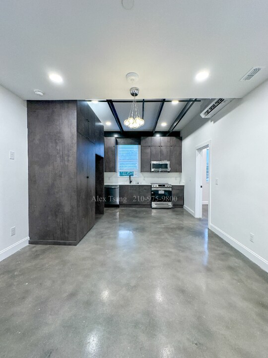
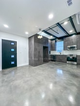
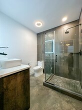
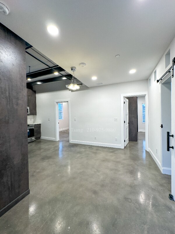
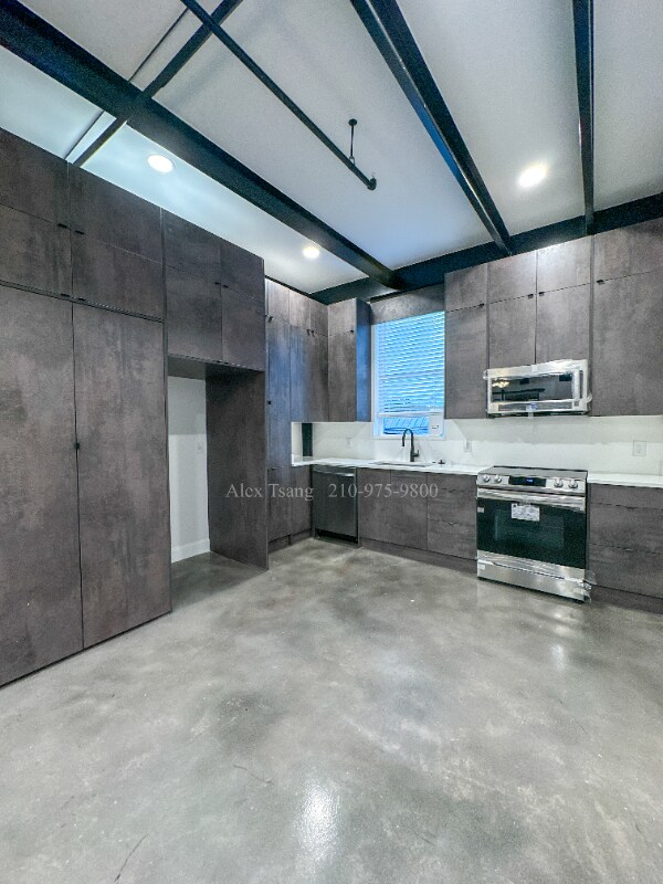
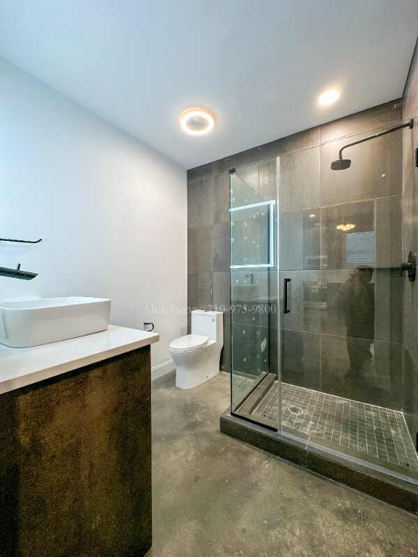
Photos


Map
630 Montana St, San Antonio, TX 78203
- Shopping
- Colleges
- Schools
- Grocery
- Medical
- Parks
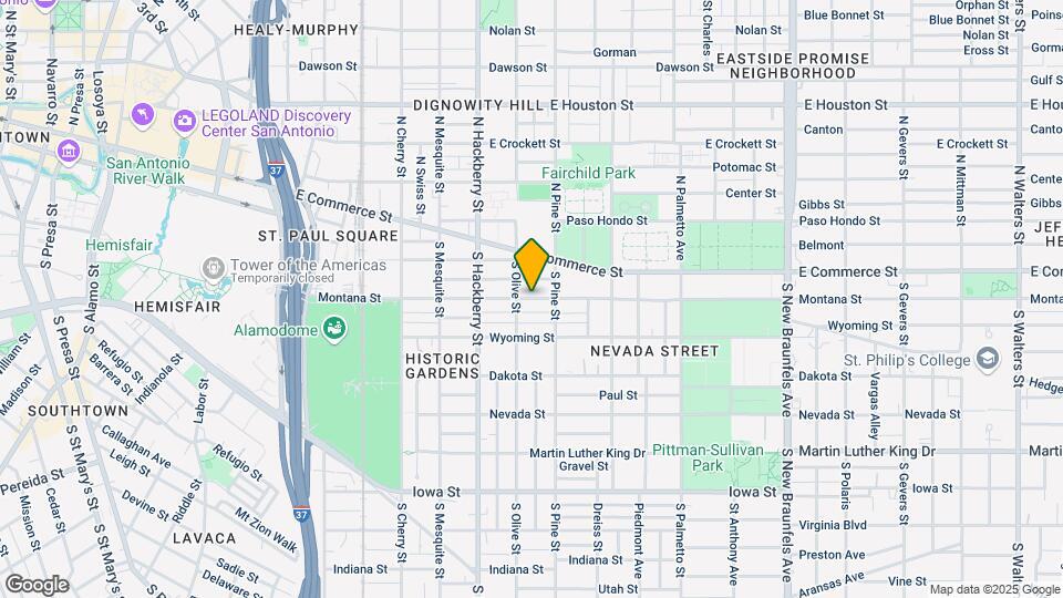
Map
Points of Interest
Time and distance from 630 Montana St.
Arts Museums and Landmarks
Big Box and Retail
Walgreens
2200 E Houston St
1 minute drive / 0.66 miles away
Walgreen's
121 Zarzamora St
7 minute drive / 3.5 miles away
Autozone
1733 S Ww White Rd
8 minute drive / 4.02 miles away
Colleges and Universities
Groceries
Heb
1601 Nogalitos
6 minute drive / 3.1 miles away
Central Market
4821 Broadway St
7 minute drive / 3.52 miles away
Hospitals
Brooke Army Medical Center (Fort Sam Houston)
3551 Roger Brooke Drive
9 minute drive / 4.21 miles away
Hotspots
Military Bases
Fort Sam Houston
7 minute drive / 3.38 miles away
East Kelly Air Force Base
11 minute drive / 5.47 miles away
Martindale Army Airfield
11 minute drive / 5.5 miles away
Parks and Recreation
630 Montana St has 3 parks within 4.0 miles, including The Alamo, San Antonio Riverwalk, and Woodlawn Lake Park.
Restaurants and Dining
Shopping Centers
630 Montana St has 5 shopping centers within 0.8 miles.
Nearby Neighborhoods
Rental Price Ranges in the Area
| Bedroom | Average Rent | Cheapest Rent | Highest Rent |
|---|---|---|---|
| San Antonio Studio Apartments | $1,064 | $450 | $2,456 |
| San Antonio 1 Bedroom Apartments | $1,211 | $444 | $4,358 |
| San Antonio 2 Bedroom Apartments | $1,547 | $295 | $10,000+ |
| San Antonio 3 Bedroom Apartments | $1,958 | $337 | $10,000+ |
| San Antonio 4 Bedroom Apartments | $2,044 | $600 | $10,000+ |
| San Antonio 5 Bedroom Apartments | $5,293 | $829 | $10,000+ |
Nearby Apartments
Nearby Homes
Protect yourself from fraud. Avoid Scams and Fraud
Did You Know?
The average 3 Bedroom Apartment in San Antonio is $1,958.