6340 T St
Sacramento, CA 95817
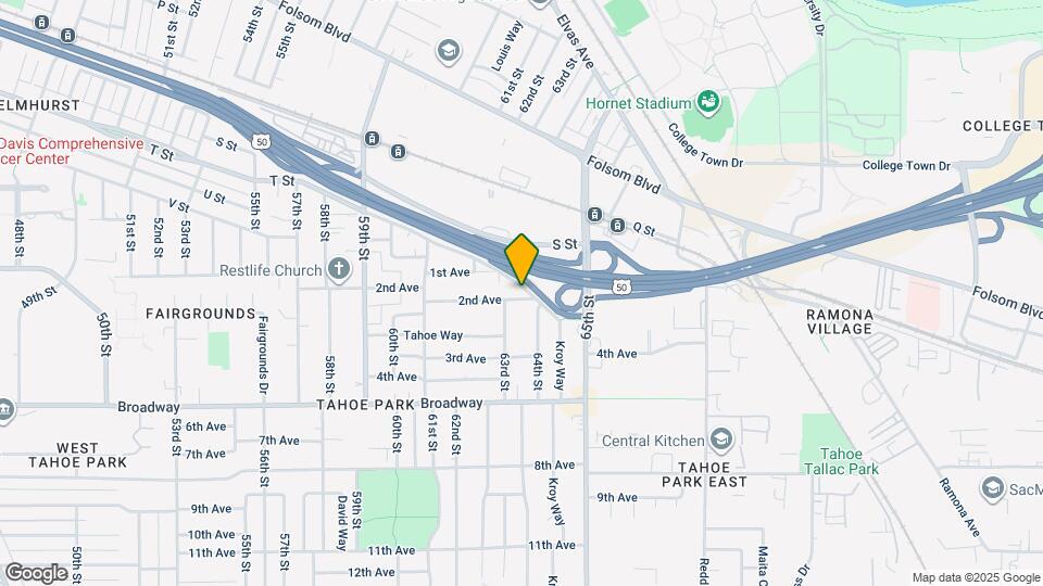
![6340 T St Map and Location Details]()
Sacramento, CA 95817
Uh-oh!
This property is not currently listed for rent.
Map
6340 T St, Sacramento, CA 95817
- Shopping
- Colleges
- Schools
- Grocery
- Medical
- Parks
- Transportation
Map
Points of Interest
Time and distance from 6340 T St.
Big Box and Retail
Walgreens
2900 Stockton Blvd
4 minute drive / 1.36 miles away
Burlington
1596 Ethan Way
6 minute drive / 3.11 miles away
(Mervyn's)
1890 Arden Way
7 minute drive / 3.29 miles away
Colleges and Universities
Groceries
Raley's
2075 Fair Oaks Blvd
5 minute drive / 1.87 miles away
Pavilions
531-571 Pavilions Ln
4 minute drive / 2.05 miles away
Stop & Shop
3440 Folsom Blvd
4 minute drive / 2.12 miles away
Hospitals
Sutter Center For Psychiatry
7700 Folsom Blvd
2 minute drive / 0.87 miles away
Shriners Hospitals For Children G?? Northern California
2425 Stockton Boulevard
4 minute drive / 1.43 miles away
University Of California Davis Medical Center
2315 Stockton Boulevard
4 minute drive / 1.52 miles away
Military Bases
National Guard Armory Sacramento
2 minute drive / 0.83 miles away
Army National Guard Mather
16 minute drive / 7.58 miles away
McClellan Air Force Base
17 minute drive / 8.02 miles away
Parks and Recreation
6340 T St has 5 parks within 4.2 miles, including Sutter's Fort State Historical Park, Sutter's Landing Regional Park, Paradise Beach, Capitol Park, and Southside Park.
Shopping Centers
6340 T St has 5 shopping centers within 0.8 miles.
Transit Stations
Nearby Neighborhoods
Rental Price Ranges in the Area
| Bedroom | Average Rent | Cheapest Rent | Highest Rent |
|---|---|---|---|
| Sacramento Studio Apartments | $1,711 | $946 | $3,050 |
| Sacramento 1 Bedroom Apartments | $1,843 | $800 | $4,751 |
| Sacramento 2 Bedroom Apartments | $2,198 | $575 | $6,500 |
| Sacramento 3 Bedroom Apartments | $2,693 | $649 | $9,054 |
| Sacramento 4 Bedroom Apartments | $1,681 | $695 | $3,982 |
Nearby Apartments
Nearby Homes
Protect yourself from fraud. Avoid Scams and Fraud
Did You Know?
The months of July-August show the most apartment renter searches in Sacramento.