655 State St
St. Paul, MN 55107
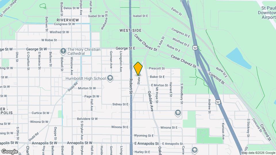
![655 State St Map and Location Details]()
St. Paul, MN 55107
Uh-oh!
This property is not currently listed for rent.
Map
655 State St, St. Paul, MN 55107
- Shopping
- Colleges
- Schools
- Grocery
- Medical
- Parks
- Transportation
Map
Points of Interest
Time and distance from 655 State St.
Arts Museums and Landmarks
Big Box and Retail
Menards
1425-1441 Robert St S
5 minute drive / 1.9 miles away
Target
1744 Suburban Ave
6 minute drive / 2.85 miles away
Petco
1970 Robert St S
6 minute drive / 2.99 miles away
Colleges and Universities
Groceries
Cub Foods
1440 University Ave
9 minute drive / 4.25 miles away
Aldi
2350 Rice St
12 minute drive / 5.76 miles away
Hospitals
Military Bases
Fort Snelling Military Reservation
13 minute drive / 6.51 miles away
Parks and Recreation
655 State St has 4 parks within 10.8 miles, including Como Zoo, Powderhorn Park, Loring Park, and The Grand Rounds.
Shopping Centers
655 State St has 5 shopping centers within 2.6 miles.
Transit Stations
Nearby Neighborhoods
Rental Price Ranges in the Area
| Bedroom | Average Rent | Cheapest Rent | Highest Rent |
|---|---|---|---|
| St. Paul Studio Apartments | $1,246 | $629 | $2,393 |
| St. Paul 1 Bedroom Apartments | $1,490 | $626 | $2,995 |
| St. Paul 2 Bedroom Apartments | $1,787 | $469 | $5,000 |
| St. Paul 3 Bedroom Apartments | $2,187 | $739 | $6,444 |
| St. Paul 4 Bedroom Apartments | $1,703 | $649 | $5,016 |
| St. Paul 5 Bedroom Apartments | $3,076 | $2,495 | $3,500 |
Nearby Apartments
Nearby Homes
Protect yourself from fraud. Avoid Scams and Fraud
Did You Know?
The average Apartment shopper researches 4 properties in detail before signing a lease.