461-463-463 Flint St
Rochester, NY 14611
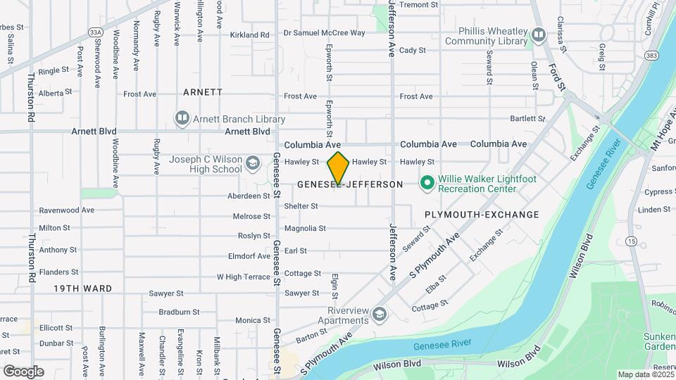
![461-463-463 Flint St Map and Location Details]()
Rochester, NY 14611
Uh-oh!
This property is not currently listed for rent.
Map
461-463-463 Flint St, Rochester, NY 14611
- Shopping
- Colleges
- Schools
- Grocery
- Medical
Map
Points of Interest
Time and distance from 461-463-463 Flint St.
Big Box and Retail
Walgreens
670 Thurston Rd
3 minute drive / 1.19 miles away
Costco
335 Westfall Rd
4 minute drive / 2.06 miles away
Aldi
8 Spencerport Rd
7 minute drive / 3.69 miles away
Colleges and Universities
Groceries
Wegmans
1885 Chili Ave
5 minute drive / 2.8 miles away
Price Rite
375 Driving Park Ave
6 minute drive / 2.82 miles away
Aldi
8 Spencerport Rd
7 minute drive / 3.69 miles away
Hospitals
Strong Memorial Hospital
601 Elmwood Ave
3 minute drive / 1.12 miles away
Highland Hospital
1000 South Avenue
3 minute drive / 1.17 miles away
Rochester Psychiatric Center
1600 South Ave
3 minute drive / 1.33 miles away
Shopping Centers
461-463-463 Flint St has 5 shopping centers within 2.1 miles.
Nearby Neighborhoods
Rental Price Ranges in the Area
| Bedroom | Average Rent | Cheapest Rent | Highest Rent |
|---|---|---|---|
| Rochester Studio Apartments | $1,212 | $706 | $2,028 |
| Rochester 1 Bedroom Apartments | $1,541 | $600 | $3,300 |
| Rochester 2 Bedroom Apartments | $1,831 | $795 | $4,950 |
| Rochester 3 Bedroom Apartments | $2,267 | $950 | $5,500 |
| Rochester 4 Bedroom Apartments | $1,578 | $975 | $2,600 |
| Rochester 5 Bedroom Apartments | $2,300 | $2,300 | $2,300 |
Nearby Apartments
Nearby Homes
Protect yourself from fraud. Avoid Scams and Fraud
Did You Know?
The average Apartment shopper researches 4 properties in detail before signing a lease.