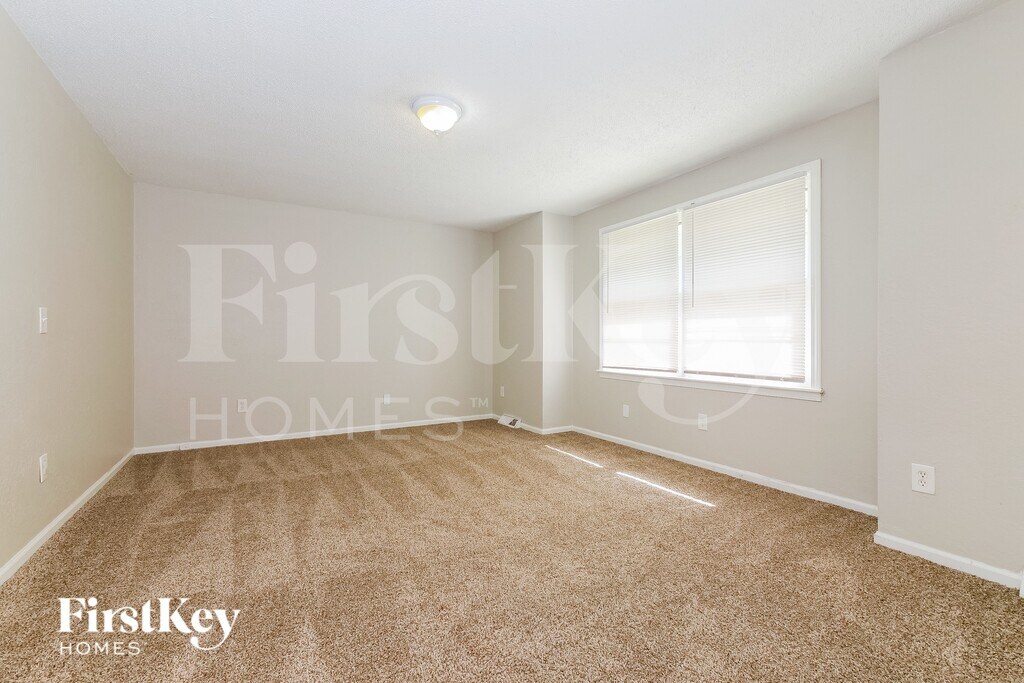
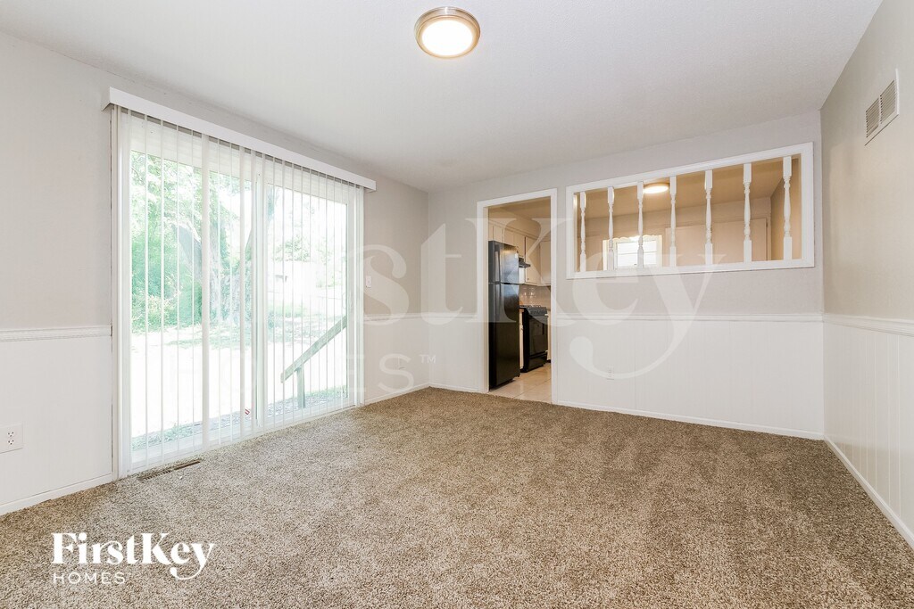
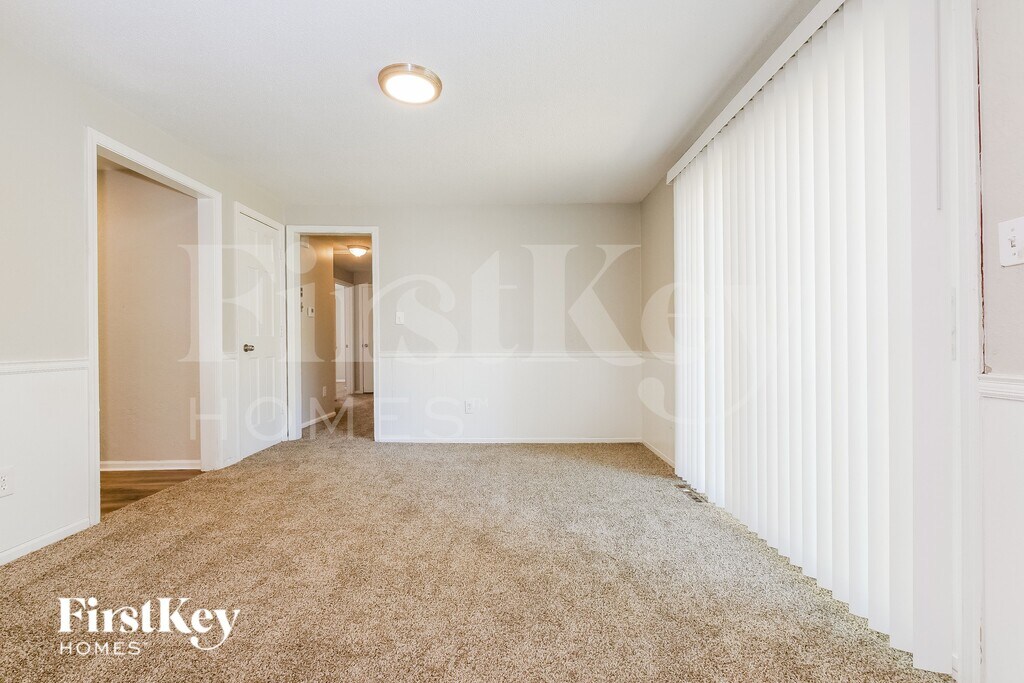
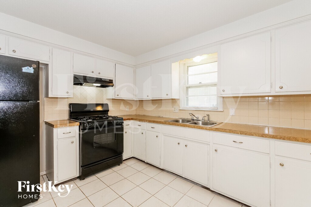
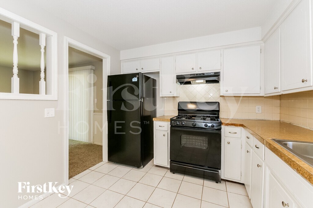
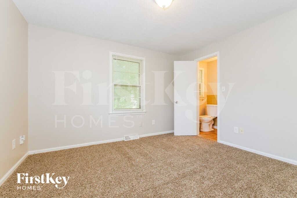
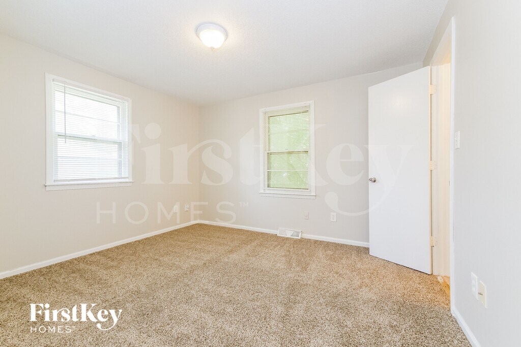
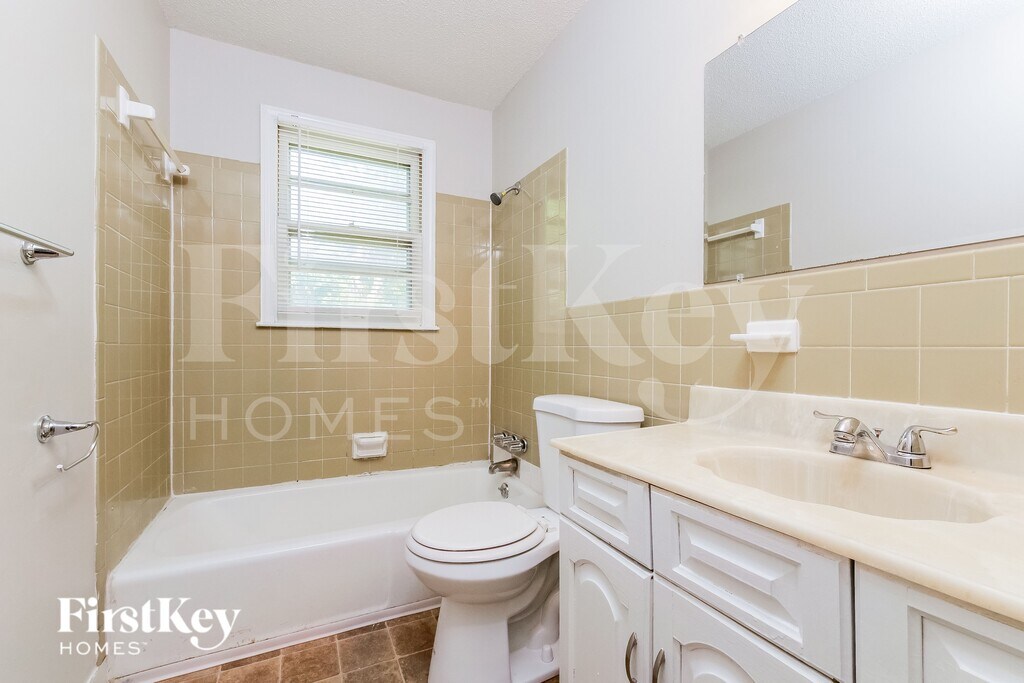
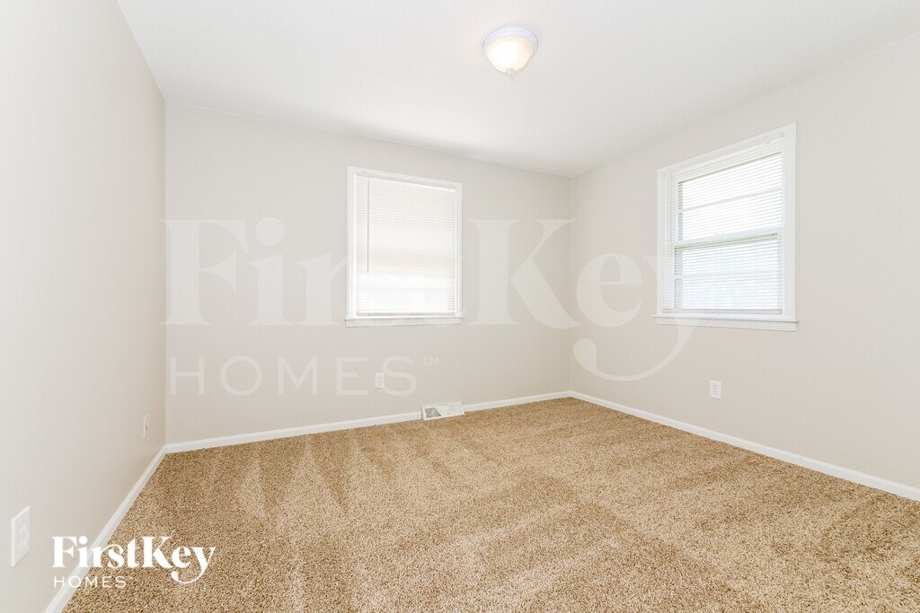
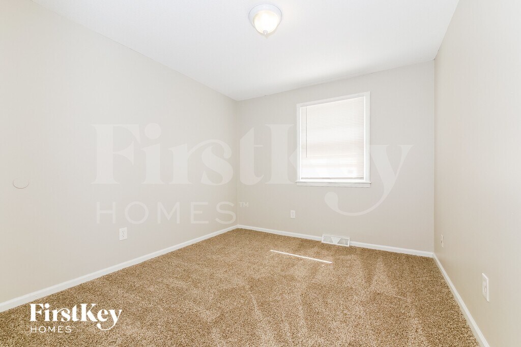
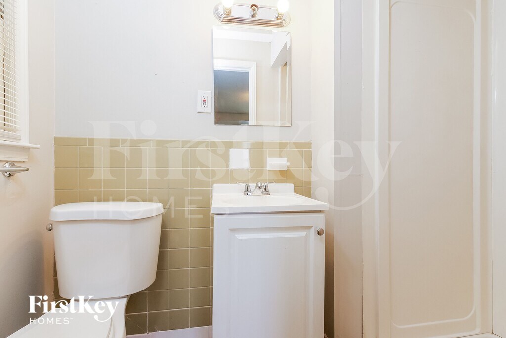
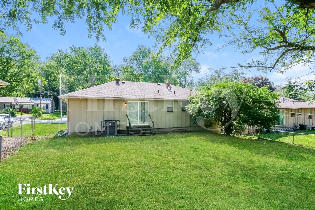
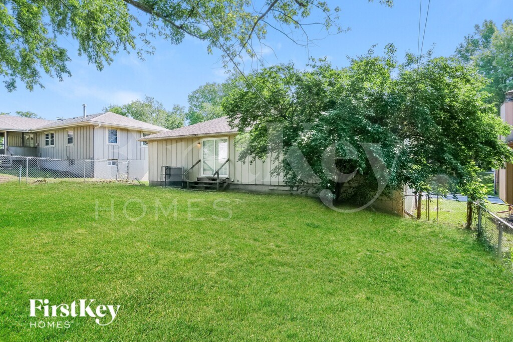
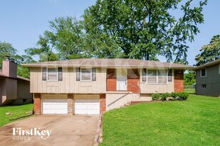
Photos


- 3BR, 2BAHome
- $1,450Price
- 1,214Square Feet
- Available NowAvailability
Unit Rent and Fees
Unit Price
- $1,450
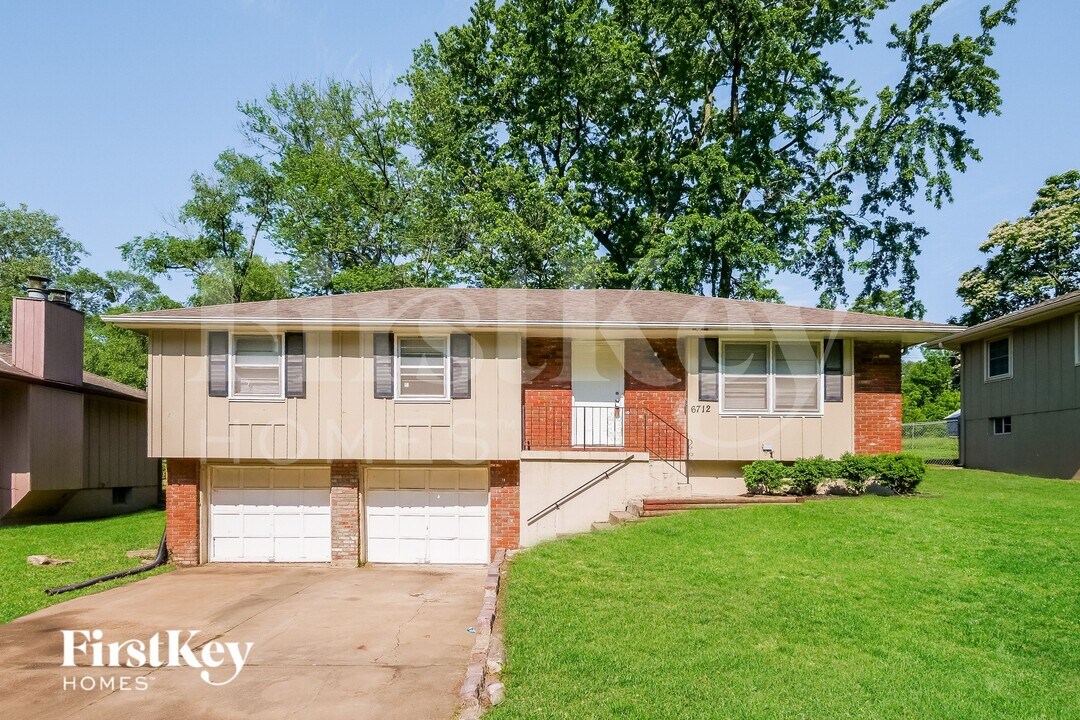
About 6712 Manchester Ave
Please note that the advertised price may exclude additional fees. These include a $55 application fee per applicant; a one-time $75 admin fee; a $11 monthly utility management fee; other mandatory fees, if applicable, for pool maintenance, pet fees/rent, smart home, internet service, and propane refilling; and optional fees for services like self-guided tours with third-party provider Rently ($1.99 to $11.99). HOAs may also charge mandatory application and amenity fees, where applicable, which must be paid directly to the HOA. For a comprehensive overview of all potential fees, please see our Rental Fees. Get the home you want and the value you deserve with FirstKey Homes. Use our website to Apply Online, Schedule a Self-Tour, Review Resident Qualifications or Search More Homes; or contact our leasing department for help today. Pets are welcome. Apply soon, homes can go fast! 3 bedroom, 2 bathroom rental home in Kansas City, MO, may be just the home for you. FirstKey Homes, LLC is an Equal Housing Lessor under the FHA. Applicable local, state and federal laws may apply. Lease terms and conditions apply. This is not an offer to rent—you must submit additional information for review and approval. Listed features may not be accurate; confirm details with a leasing representative. Certain cities and municipalities – including St. Louis and Chicago – require a home inspection prior to a new resident taking possession of the home. If you are leasing a home in one of these areas, please note that your move-in date could be adjusted to accommodate inspection requirements. Please ask your leasing agent for more details. BEWARE OF RENTAL SCAMS: FirstKey Homes exclusively manages our homes (no third-party management). We do not lease homes through Craigslist, SocialServe, LetGo, Facebook Marketplace or other classified advertising services. All applications and lease signing can only be completed through using the RentCafe portal. We will never ask for wire transfers, cash apps like Venmo, Zelle, CashApp PayPal, or any other transferring method to collect funds. See FirstKey Homes website for full details and conditions. Listing photos are provided to help you select a home; all photos shown are for representative and illustrative purposes only but may not be exact. Colors and photo size may vary based on different resolutions, hue, brightness, contrast, or other photo variations. Photos on websites may be modified, changed, or amended at any time. For new construction homes, actual homes may vary, photos may be of similar home/floorplan, home may be under construction and photos may not be of actual home, individual homes, amenities, features, and views may differ. If you have any concerns, please schedule a tour prior to applying or leasing the listed home.
6712 Manchester Ave is located in the East Swope Highlands Neighborhood and 64133 Zip code of Kansas City, MO.
Property Contact Info
Features and Amenities
On-Site Services
- Garden Style
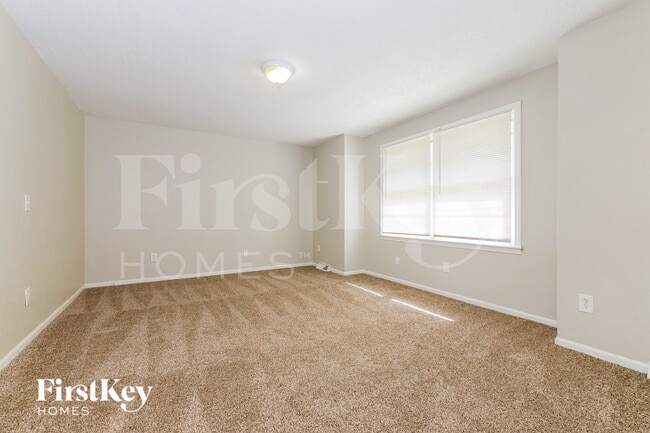
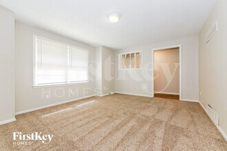
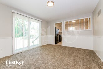
Interior Features
- Washer/Dryer Hookup
- Air Conditioning
Kitchen Amenities
- Disposal
Living Area Features
- Basement
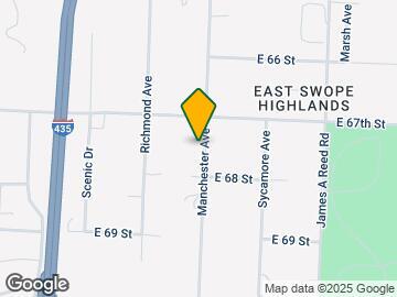
Map
- Shopping
- Colleges
- Schools
- Grocery
- Medical
- Parks
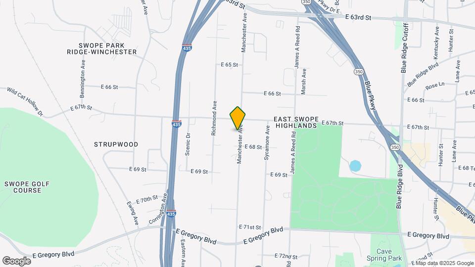
Map
What Are Walk Score®, Transit Score®, and Bike Score® Ratings?
- Walk Score® measures the walkability of any address.
- Transit Score® measures access to public transit.
- Bike Score® measures the bikeability of any address.
Frequently Asked Questions about 6712 Manchester Ave
What type of rental is available at 6712 Manchester Ave?
There is currently a 3 Bed 2 Bath Home for rent with 1,214 sq ft listed at 6712 Manchester Ave. It is Available Now.
How much is the rent at 6712 Manchester Ave?
The rental at 6712 Manchester Ave is currently listed at $1,450.
What area of town is 6712 Manchester Ave located in?
Located in the East Swope Highlands Neighborhood, 6712 Manchester Ave is in the 64133 Zip Code of Kansas City, MO.
Points of Interest
Time and distance from 6712 Manchester Ave.
Arts Museums and Landmarks
Big Box and Retail
Walgreens
Autozone
Radioshack
Colleges and Universities
University of Missouri, Kansas City - Volker Campus
Groceries
Hy-Vee
Aldi
Price Chopper
Hospitals
Research Medical Center
St. Lukes Hospital Of Kansas City
Truman Medical Center Lakewood
Parks and Recreation
6712 Manchester Ave has 3 parks within 8.4 miles, including Swope Park, Theis Park, and Penguin Park.
Restaurants and Dining
Shopping Centers
6712 Manchester Ave has 5 shopping centers within 1.7 miles.
Nearby Neighborhoods
Nearby Apartments
Rental Price Ranges in the Area
| Bedroom | Average Rent | Cheapest Rent | Highest Rent |
|---|---|---|---|
| Kansas City Studio Apartments | $1,261 | $525 | $10,000+ |
| Kansas City 1 Bedroom Apartments | $1,389 | $645 | $10,000+ |
| Kansas City 2 Bedroom Apartments | $1,697 | $710 | $8,078 |
| Kansas City 3 Bedroom Apartments | $2,029 | $898 | $10,000+ |
| Kansas City 4 Bedroom Apartments | $2,007 | $1,430 | $3,059 |
Browse Top Apartments in Kansas City
By Price
- Cheap Kansas City Apartments
- Kansas City Apartments Under $600
- Kansas City Apartments Under $700
- Kansas City Apartments Under $800
- Kansas City Apartments Under $900
- Kansas City Apartments Under $1000
- Kansas City Apartments Under $1200
- Kansas City Apartments Under $1500
- Kansas City Apartments Under $2000
- Kansas City Luxury Apartments
By Community Type
- Kansas City Apartments for Rent by Owner
- Kansas City Apartments with Rent Specials
- Kansas City Top Rated Apartments
- Kansas City Corporate Apartments
- Kansas City Furnished Apartments
- Kansas City Gated Apartments
- Kansas City Loft Apartments
- Kansas City Low Income Apartments
- Kansas City Military Apartments
- New Kansas City Apartments
- Kansas City Senior Apartments
- Kansas City Short-term Apartments
- Kansas City Student Apartments
- Kansas City Apartments with Utilities Included