9680 Manning Ave
Kansas City, MO 64134
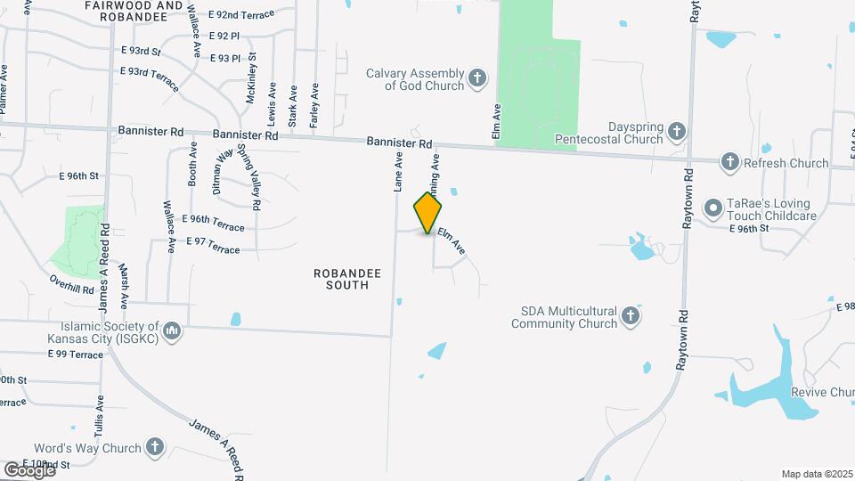
![9680 Manning Ave Map and Location Details]()
Kansas City, MO 64134
Uh-oh!
This property is not currently listed for rent.
Map
9680 Manning Ave, Kansas City, MO 64134
- Shopping
- Colleges
- Schools
- Grocery
- Medical
- Parks
Map
Points of Interest
Time and distance from 9680 Manning Ave.
Arts Museums and Landmarks
Big Box and Retail
Aldi
10475 Blue Ridge Blvd
5 minute drive / 1.82 miles away
Autozone
9900 E State Route 350
6 minute drive / 2.84 miles away
Walgreens
9300 E Gregory Blvd
6 minute drive / 3.15 miles away
Colleges and Universities
Groceries
Aldi
10475 Blue Ridge Blvd
5 minute drive / 1.82 miles away
Hy-Vee
9400 E State Route 350
6 minute drive / 3.08 miles away
Price Chopper
1600 SE Blue Pky
14 minute drive / 6.8 miles away
Hospitals
Truman Medical Center Lakewood
7900 Lee's Summit Rd
10 minute drive / 5.08 miles away
Saint Luke's East Hospital
100 N E Saint Luke's Boulevard
11 minute drive / 5.5 miles away
Research Medical Center
2316 E Meyer Blvd
12 minute drive / 5.79 miles away
Parks and Recreation
9680 Manning Ave has 2 parks within 9.4 miles, including Swope Park, and Theis Park.
Restaurants and Dining
Shopping Centers
9680 Manning Ave has 5 shopping centers within 1.9 miles.
Nearby Neighborhoods
Rental Price Ranges in the Area
| Bedroom | Average Rent | Cheapest Rent | Highest Rent |
|---|---|---|---|
| Kansas City Studio Apartments | $1,244 | $525 | $10,000+ |
| Kansas City 1 Bedroom Apartments | $1,386 | $645 | $7,634 |
| Kansas City 2 Bedroom Apartments | $1,684 | $725 | $8,078 |
| Kansas City 3 Bedroom Apartments | $2,082 | $949 | $10,000+ |
| Kansas City 4 Bedroom Apartments | $2,013 | $1,275 | $4,073 |
Nearby Apartments
Nearby Homes
Protect yourself from fraud. Avoid Scams and Fraud
Did You Know?
22% of apartment shoppers plan to spend 4-6 months in their apartment search.